Union Transportation Trail (UTT) At A Glance...
- Todays Sunrise: 6:04 am, Sunset: 7:47 pm
- New Jersey Shore Region Monmouth County
About Union Transportation Trail (UTT)
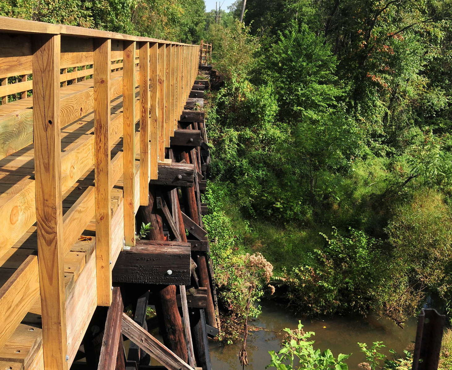
The Union Transportation Trail is deal for equestrians, hikers, walkers, joggers and bicyclists, this portion of the gravel trail includes a rehabilitated historic wood trestle bridge over Lahaway Creek which is one of the few physical remnants of the old railroad.


-
Activities:
- Equestrian / Horseback
-
Hiking
More like Walking
- Jogging / Running
- Mountain Bike
- Skiing / Snowboarding
- Walking
Amenities:- Parking Lot(s)
Trails:- Crushed rock
- Walking Paths
Park Type:- County Parks
- Rail To Trail
Contact / Location
- Primary Address:
- Get Directions South-Western section of Monmouth County
- Contact:
-
- Monmouth County Park UTT page
- Maps & Brochures:
-
- Official UTT Map by Monmouth CP
- Related:
-
- Monmouth County Park UTT page
Trail & Path Info
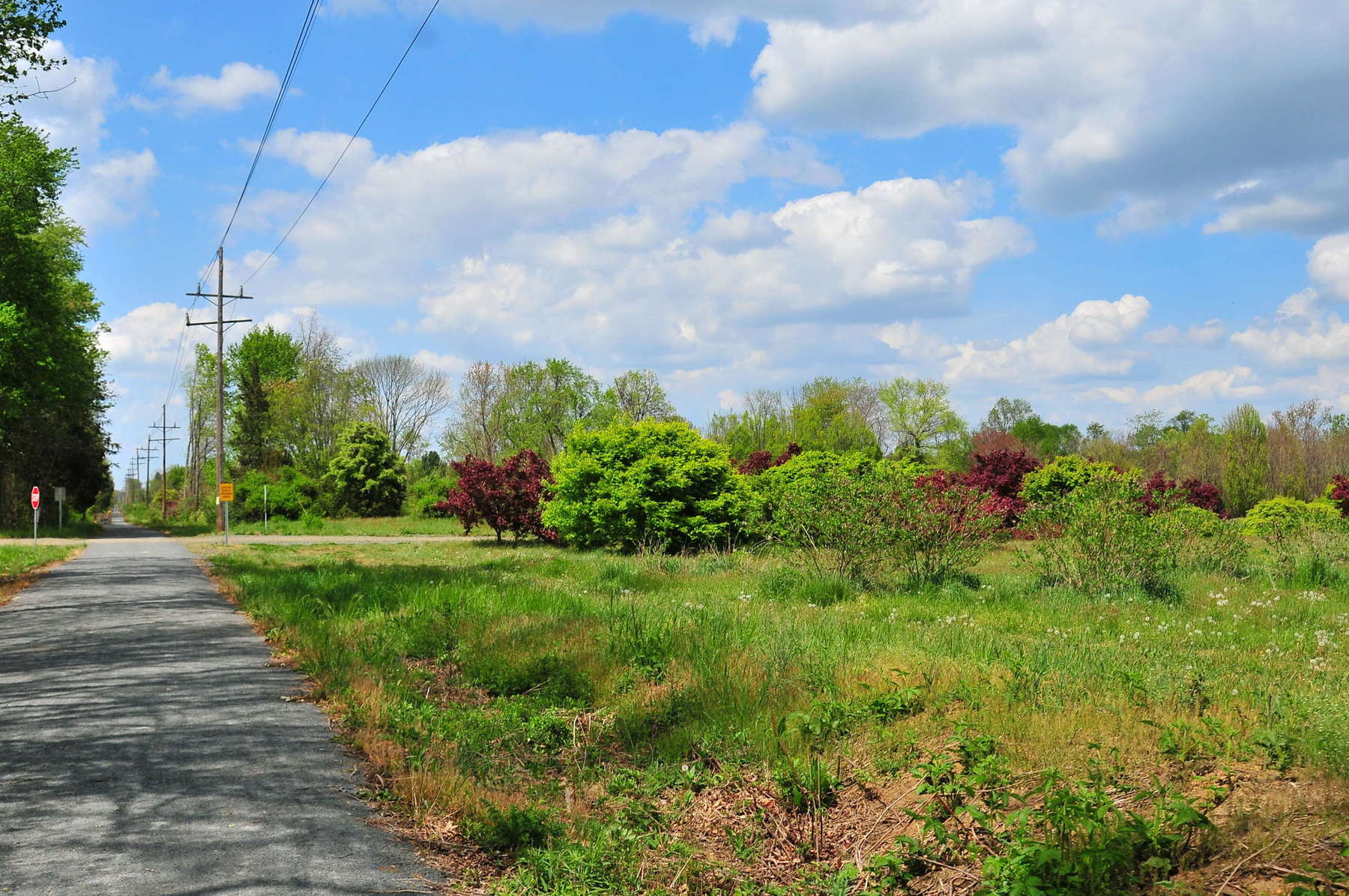
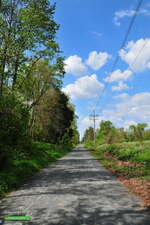
The crushed rock trail/path is currently 4 miles, one way. Since this is an old railway, the grade change is very minimal. And the crushed rock bed allows for a solid surface, without getting muddy during wet times. Depending on how long you would like to ride/walk, you may want to consider which parking lot would be your best starting point:
Millstream Road/Rt. 537 Parking Lot:
- This lot is located in the southern most section of the path. From beginning to end and back, you will cover a total of 8 miles. - When heading north, you will have the full 4 miles ahead of you, finding the Jonathan Holmes Rd lot about 2 miles away. Within this stretch, you will ride through thick woods, nice fields and open areas throughout, but will also have to cross a few roads. One road crossing you will encounter is Rt 539 . This can be Very busy at times. Always be careful crossing this and any street!
 Jonathan Holmes Road Parking Lot:
- From this lot we usually recommend heading north (meaning you will not cross Jonathan Holmes Rd) on the trail. it is a nice 2 mile trip to the current end of the trail, where you will turn around and come back. There is only 1 road crossing here that has very minimal traffic anytime we have visited. When the entire path is completed, the trail will measure 8.6 miles in length. We have not seen plans on when this may happen.
Parking
There are currently 3 primary parking lots along the path..
(northern) Sharon Station / Herbert Rd:
This lot is located the the northern-most section of the UTT, and is the only official parking are for the northern stretch of the trail. This trail is large enough to fit many cars. At the time we visited (2015), there were portablerestrooms.
(central) Jonathan Holmes Road Parking Lot:
This lot is also large, and had a picnic table last time we visited. Access to the trail is connected directly to the lot.
(southern) Millstream Road/Rt. 537 Parking Lot:
You will find a park kiosk, porta-potty, large lot, and parking for horse trailers. The trailhead is found across the street from the lot.
Directions
Millstream Road/Rt. 537 Parking Lot:
- From Freehold or 195 exit 16, west on Rt. 537, cross Rt. 539 and continue approximately 1 mile to Millstream Road. Turn right, parking lot on left. - From Ocean County, east on Rt. 537 and cross Rt. 68. Continue approximately 6 miles to Millstream Road. Turn left and parking lot on left.
Jonathan Holmes Road Parking Lot:
- From Freehold or 195 exit 16, west on Rt. 537. Turn right at traffic light onto Emley's Hill Road then bear left onto Jonathan Holmes Road. Lot will be on right. - From Ocean County, east on Rt. 537. Turn left onto Rt 539 (Forked River Road) then right onto Jonathan Homes Road. Lot will be on left.
You may also like...
Nearby Places
- Union Transportation Trail (UTT) (~0 miles)
- Cream Ridge Winery (~1 miles)
- Historic Walnford Farm (~2 miles)
- Crosswicks Creek Park (~2 miles)
- Clayton Park (~2 miles)
- Holland Ridge Farms (~2 miles)
- Bullock Farms (~3 miles)
- Sunshine Fields (~3 miles)
- Horse Park of New Jersey at Stone Tavern, Inc. (~4 miles)
- Prospertown Wildlife Management Area (~4 miles)
- Oasis Family Farm (~4 miles)
- Assunpink Wildlife Management Area (~5 miles)
Looking for more?
Post Comments
Related Content
Photos

Riding the Union Transportation Trail - 12/13/2012
We have visited the UTT a few times now. The first was during the opening day ceremony put together by the Monmouth County park System
DetailsBlogs

Photos of the week! April 14
Each week we share a few photos of fun places around NJ with the hope that you find fun places to explore. In this episode, we visit Gr
Details
Have you visited the NJ Outdoor Map yet? You should...
We started working on a new site that will help you find new places to explore. It is called the NJOutdoorMap.com
Details
A Special Time to Stargaze: 2016 Perseids Meteor Shower
This year is setting up to be one of the best years for seeing the Perseids Meteor Shower. With a projected rate of 50 - 150 per hour,
Details
More Places and Groups Please! :)
We would love to add all the great outdoor destinations, groups and events into our powerful search. We just need to know about them! :
Details
Quick Updates for 2014..
Just wanted to share quick update for the new year, a bit of info about the owners of the site, and a note on how you can contribute to
Details
Featured Place: Union Transportation Trail
The Union Transportation Trail is ideal for equestrians, hikers, walkers, joggers and bicyclists. The packed gravel, linear trail leads
Details
The latest listing updates, and a change to the search
We have added a nice new "Location Starts With" feature to our search. We also added a lot of new listings.
Details


